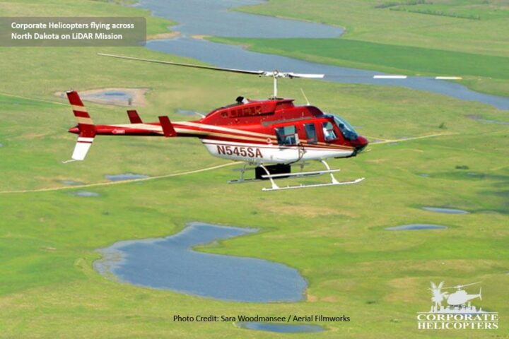
Pilot Garner Shepard left on May 1, 2013 to start a LiDAR Mission for the Towill, Inc. His mission began over power lines that spanned from California, Nevada, Utah, Colorado and Wyoming before reaching South Dakota.
In the picture, Garner is flying in the Bell LongRanger rigged with Towill’s LiDAR System on a power line that spans over North Dakota, South Dakota and Minnesota.
Quick Fact:
LiDAR (light detection and ranging) is a remote method that uses light in the form of a pulsed laser to measure ranges to Earth.
These light pulses—combined with other data recorded by the airborne system— generate precise, three-dimensional information about the shape of the Earth and its surface characteristics.


